

Description
GPS and Maps in Tactical Operations: Precision and Strategy
In the realm of tactical operations, precision, accuracy, and reliable information are paramount. The integration of Global Positioning Systems (GPS) and detailed maps have revolutionized the way military and law enforcement units plan and execute their missions.
GPS: Navigating with Precision
GPS technology provides real-time positioning, navigation, and timing data crucial for tactical operations. With the ability to pinpoint exact locations, GPS ensures that units can accurately navigate complex terrains, synchronize movements, and coordinate with precision. The real-time data provided by GPS is essential for:
Mission Planning: Commanders can plan routes and identify potential hazards or strategic points.
Reach and Efficiency: Loss of time is mitigated by GPS-guided movements, ensuring that units reach their objectives swiftly.
Coordination and Communication: Improved synergy between units by sharing precise coordinates, enhancing overall operational efficiency.
Maps: The Strategic Backbone
While GPS provides real-time updates, detailed maps serve as the backbone for strategic planning and situational awareness. Maps offer comprehensive overviews of the terrain, critical structures, and mission-essential details, allowing for:
Terrain Analysis: Identifying features such as elevations, waterways, and routes, which can affect movement and strategy.
Planning and Visualization: Offering clear visual aids for operational planning, enabling teams to visualize their routes and anticipate obstacles.
Historical Data: Including previous mission data and changes over time, helping strategists understand the evolution of the operational environment.
The Synergy of GPS and Maps
The combination of GPS and maps creates a synergistic effect that greatly enhances tactical operations. This amalgamation provides units with the flexibility to adapt to dynamic environments while maintaining a clear strategic vision. The benefits include:
Dynamic Decision-Making: Commanders can make informed decisions on-the-fly, adapting to real-time information from the field.
Enhanced Safety: Minimizing risks by providing accurate data, ensuring units are aware of immediate threats and safe passages.
Operational Success: A higher likelihood of mission success by leveraging comprehensive information and precise navigation.
In conclusion, the integration of GPS and maps into tactical operations has significantly improved the effectiveness, safety, and success rate of missions. This dynamic duo continues to advance, shaping the future of tactical strategies and execution.
*Advanced Training for Map Reading and GPS Implementation in Tactical-Executive Operations
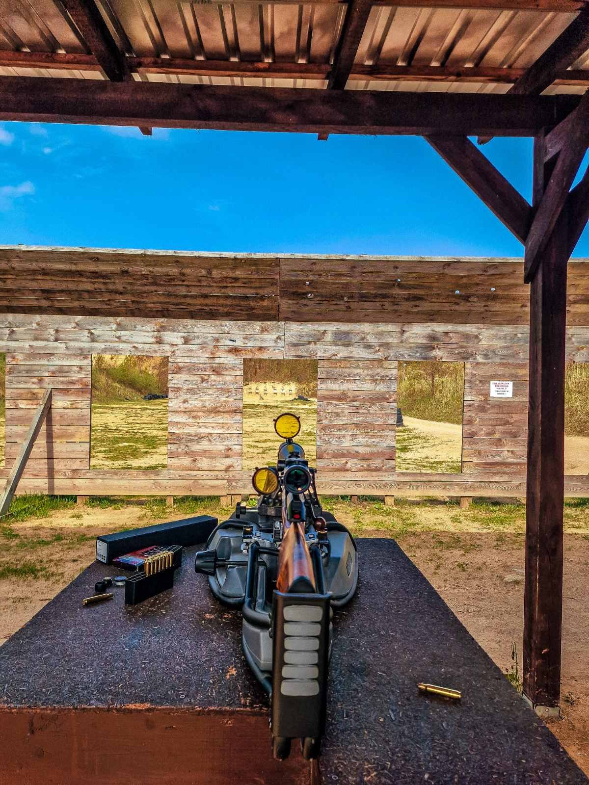
At our training center, we train our students on how to read maps and use GPS in tactical-executive operations. This program offers comprehensive preparation, equipping them for any possible situation.
We create a machine brain that is programmed to operate in emergencies and highly critical situations. Our students learn to handle complex challenges with high
As part of the executive protection program, there will be practical sessions where real-time scenarios will be implemented with moving vehicles guided by GPS technology based on given coordinates under the close supervision of the instructor.

Reviews
There are no reviews yet.